Vector map
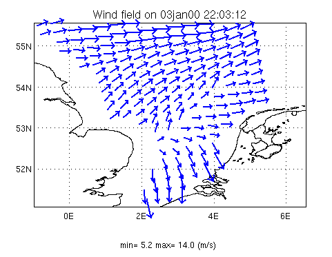
A vector map shows the set of wind vectors in the area of interest as observed by a scatterometer sensor onboard a Ers1/2 or Quikscat satellite as it passes over the area at a certain point in time. The length of the plotted vectors is normalized by means of the maximum magnitude printed below the plot. Spatial resolution for Ers (up to 2000), Quikscat (up to 2009) and MetOp-A (to present) scatterometers is 50km, 100km and 25km respectively.
Tip:
Choose the largest possible size for the offshore data area (500 km) to capture the maximum amount
of satellite samples.